|
|
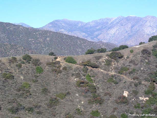
Garcia Trail - 1-3-04 as viewed and photographed by helicopter pilot Jeff McNabb, flying above Azusa looking north. This photo shows Garcia Trail as it meets the ridge. Notice the hikers arriving at the top. The white object on the ridge near the right edge of the photo is a concrete water collection slab. In the middle background, the conspicuous notch in the ridge is Windy Gap. Mt. Islip and Islip Ridge is on the left, and Mt. Hawkins and Hawkins Ridge is on the right. Below Windy Gap is the Crystal Lake basin (See aerial shots).
|
|
Garcia Trail Page
|
|
 Previous |
Next Previous |
Next
|
|
)
)