Dan's Hiking Pages: Hikes in the San Gabriels and Beyond
   camera  Garcia Trail Aerial 4    Garcia Trail Page 
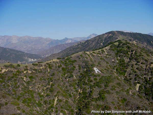
Garcia Aerial Photos:  1  2  3  4  5 
LeftPrevious | NextRight 

Garcia Trail
Garcia Trail - 11-19-05 as viewed from a helicopter piloted by Jeff McNabb, flying above Azusa looking northeast. In this photo, the "A" points to Rattlesnake Peak (5826') on the horizon, with iron Mt. (8007') to its right, peeking up over the ridge. Azusa Peak (2081') stands to the right of where Garcia Trail meets the ridge. Above Azusa Peak on the ridge is Glendora Peak (2696'), not to be confused with Glendora Mountain (3322'), about 3 miles northeast as the crow flies (not in view).
Garcia Trail Page   LeftPrevious | NextRight


Home | SimpsonCity Home

Contact Dan Simpson
Entire contents © 1999-2014 Daniel E. Simpson
This page was last updated January 5, 2014.

icon